To avoid the record breaking snow in the Sierra, my sister and I flipped up to Chester in Northern California near Lassen National forest with plans to hike the rest of the trail northbound to Canada and hike the snowy section we skipped at the end of the season.
The first few days out of Chester were rough as we were mainly hiking through areas that burned in the Dixie Fire in 2021. Not only did this mean the scenery wasn’t very pretty, but that we had no shade on pretty hot days. Thankfully, we did pass few a through a few areas that didn’t burn in Lassen National Park.
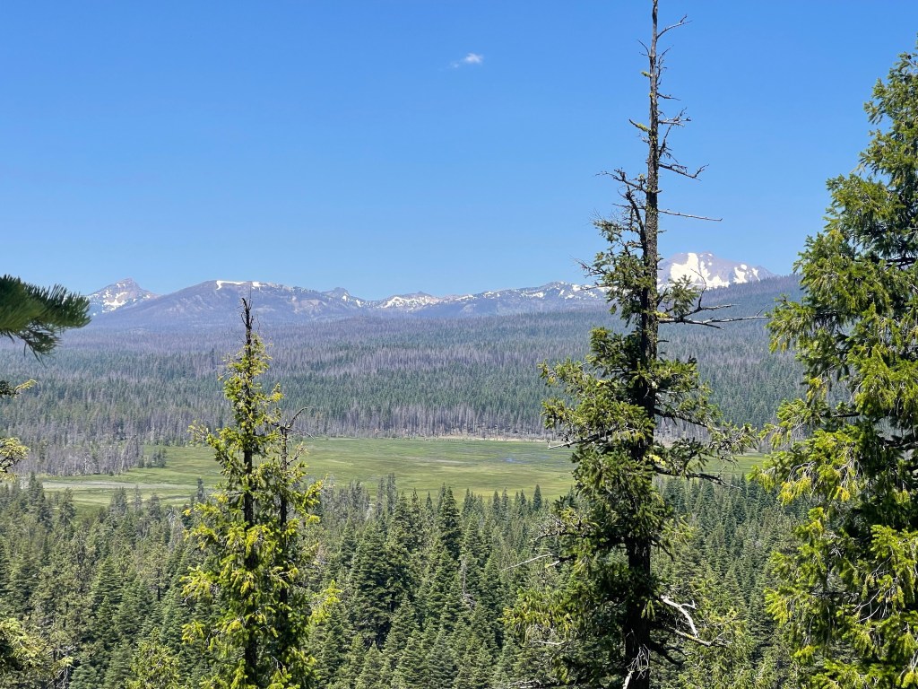

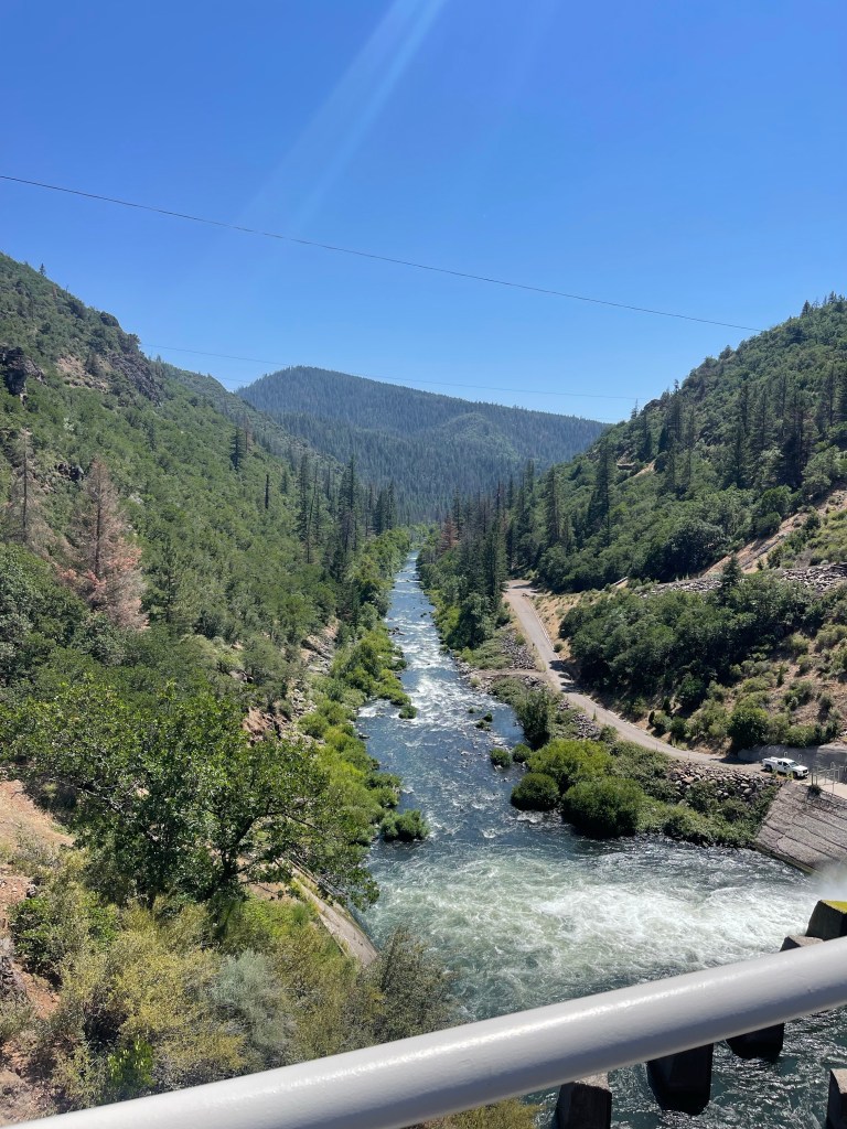
After exiting Lassen, we finally exited the burn areas meaning lots of shade and beautiful trees but this didn’t last for long. Up ahead of us was the infamous Hat Creek Rim section: a beautiful stretch of trail along a steep volcanic cliff with no shade and no water for about 30 miles. Again, this stretch of trail was made doable by trail angels that maintained a 500 gallon water cache halfway through, meaning we did not have to carry more than 4 liters of water at any point.

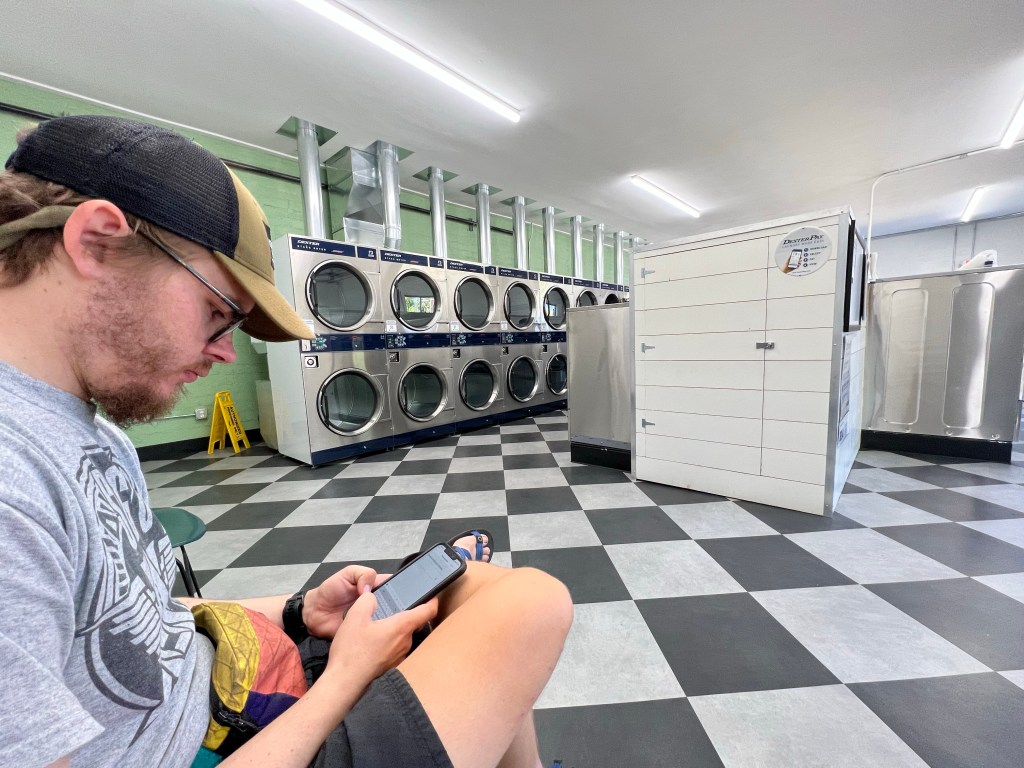
After finishing Hat Creek Rim, we made our way to Burney, a tiny hiker friendly town. We made our way to the highway where we were able to get a hitch into town and headed straight to the McDonald’s, where we feasted. After doing our hiker chores (i.e. showers, laundry, and food resupply, in that order), we crashed at the motel until it was time to hit the trail again in the morning.

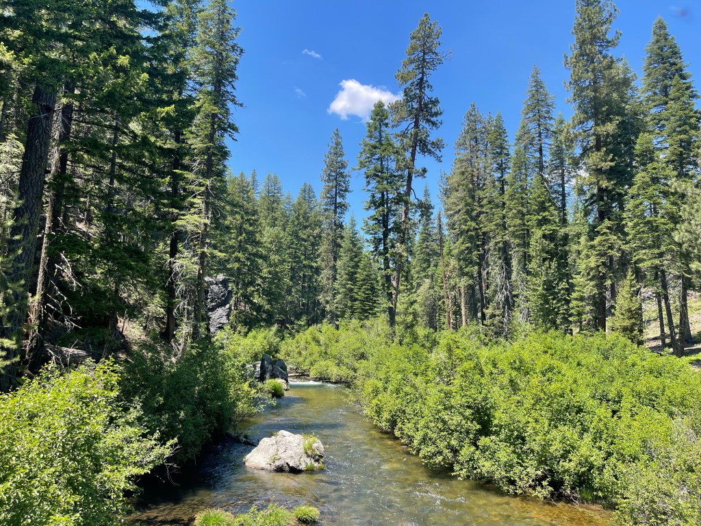
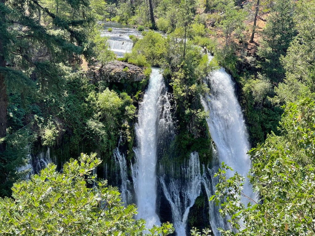
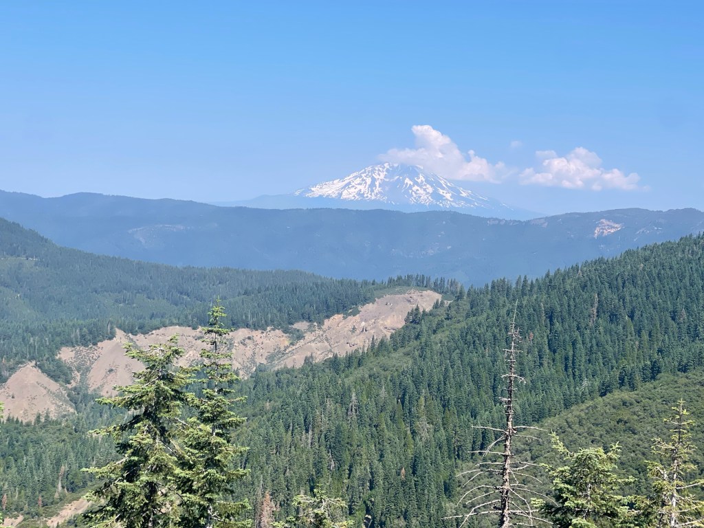
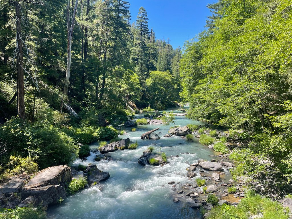
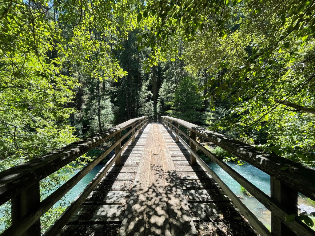
The next stretch of trail was beautiful and well shaded. Shortly after leaving Burney, we got our first view of Mount Shasta which began looking closer and closer as the days progressed. On the first day out of town, we passed through Burney Falls state park with a beautiful waterfall and even more beautiful soft serve ice cream.

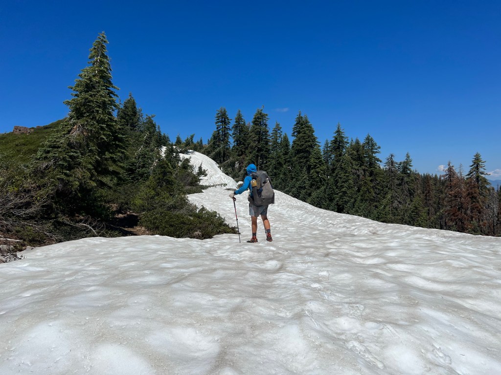
While being an awesome stretch of trail, we ran into our first major snow in Northern California. While it only lasted for a few miles, it took us several hours to navigate, bushwhack, and find a safe route.
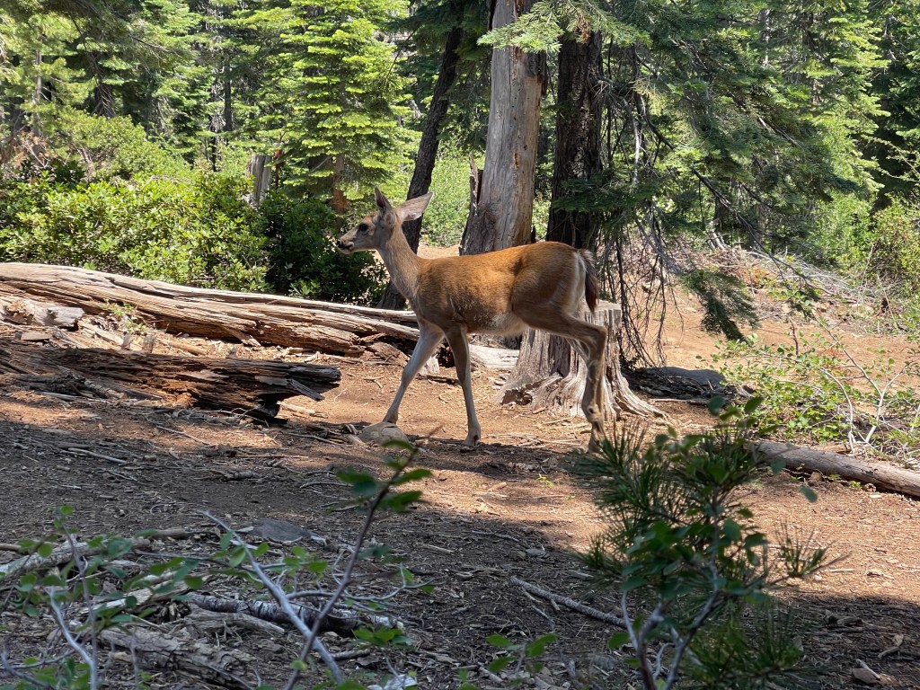
In this stretch we also encounters the friendliest of deer. One day we had a baby deer and his mama eat lunch with us 5-10 feet away for about an hour. A night later, we camped at the aptly named Deer Creek where a deer hung out at our campsite all night.


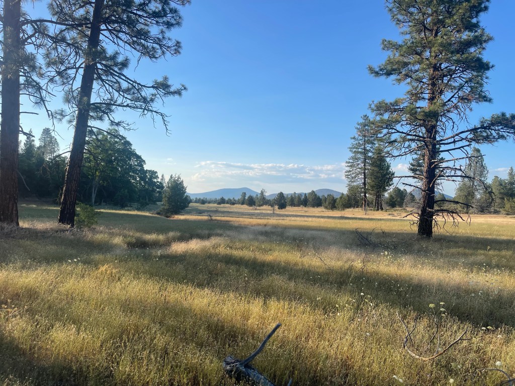
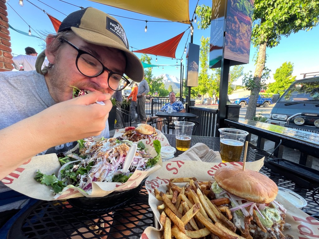
The hike continued to be beautiful everyday and our next town stop, Mount Shasta, was quickly approaching. The thought of glorious town food, especially fresh veggies and salad, encouraged us to hike more miles and get to Shasta a day early. We got to the I5 around 6 pm and began calling trail angels to look for a ride into town. Unfortunately none of them were available, so we reverted to trying to hitch hike near the freeway on ramp. After nearly giving up hope of getting to town that night, a lady pulled up to offer us a ride which we had to share with two large dogs that didn’t get along with each other. I sat in the front seat with one of the dogs sitting on the center console. Every few minutes the dog would sit on the emergency brake and when I’d try to move him I’d receive a sharp growl. Luckily we got to town safely with the emergency brake only being engaged three times. Next up, we’ll start our 4-5 day hike into Etna!


Leave a comment