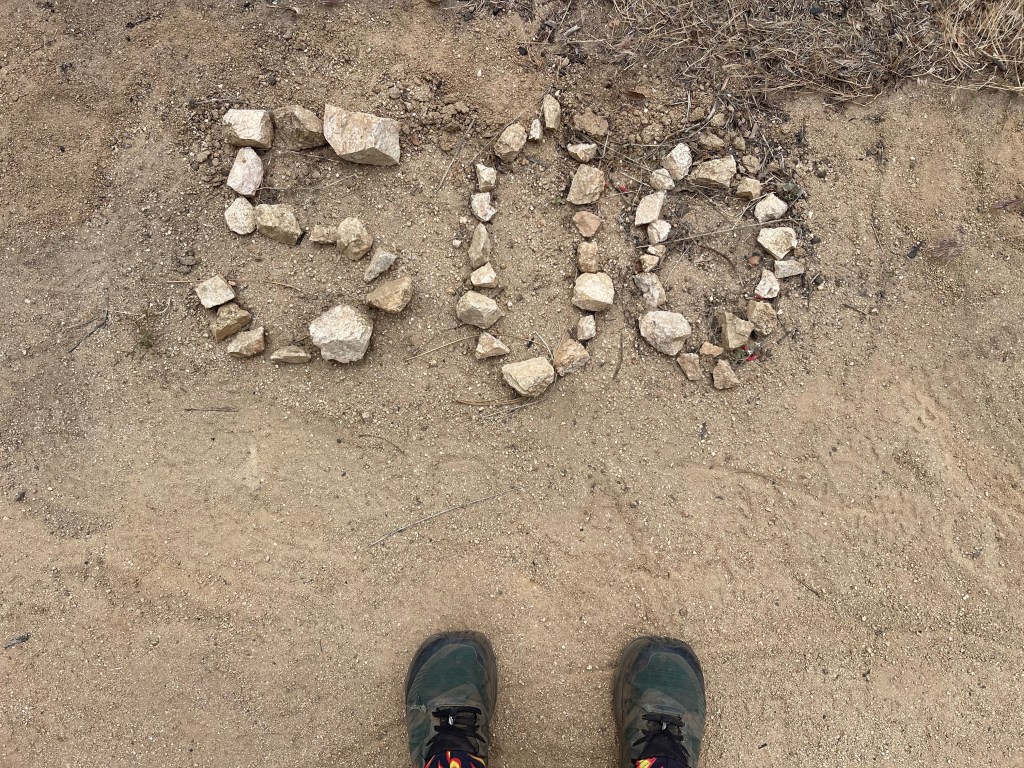
Writing this, we have completed 558.5 miles along the PCT and have covered 292 miles since Big Bear. While this stretch has been mostly snow free, there have been new challenges as we’ve hat become reacquainted with desert conditions.
Hiking out of Big Bear, our next stop along the trail would be Wrightwood. Before getting there, we would have to finish hiking through the mountains near San Bernardino.

A couple days out of Big Bear, we arrived at Deep Creek Hot Springs. The hike into the springs was exposed without shade on a pretty hot day, so we decided to end the day early at the hot springs and hangout with the growing crowd of other PCT hikers. The natural hot springs were just along side the creek and were surprisingly hot, which was a welcome relief for our muscles.

The next day my brother-in-law met my sister and I at a road crossing with some much needed cold beverages. Unfortunately, this marked the start of a less than pretty section of trail following man made reservoirs, graffitied dams, and long hot climbs without shade. These factors combined to make it a low point on the hike so far. Unfortunately, this is also when my sister started experiencing shin pain.

We continued meandering through rolling desert hills on our way to Cajon Pass. The day we hit the pass, I had my scariest moment on trail so far. At this point, I had already been rattled at by rattlesnakes a couple times. As we were walking along a steep hillside, I was walking in front and heard a rattle on my left. Assuming the snake was somewhere in front of me, I took several steps back. That’s when I realized I had stepped backwards directly in front of the snake only a foot away so I sprinted back 10 feet to my sister Kristina. After the rattling stopped and I had caught my breath, my sister started walking on the right side of the trail to give the snake a wide berth and I followed. Right as we were passing the first rattlesnake on the left, we heard a second rattling on the right. Kristina sprinted forward past the snake and I sprinted back, so now we were separated by two snakes. The first had left our view, but the second kept rattling and would begin rattling again as soon as I started speaking. After a while it seemed like it had left, so I sprinted across the trail without incident. Unfortunately the rest of the day had us hiking through tall grass (ideal terrain for a snake), which wasn’t exactly comforting.
Throughout the rest of the day, my sister’s shins started to hurt more and more as we hiked into Cajon Pass. After 22 miles that day, we got to town and stopped by the McDonalds, infamous for being right off the trail and stayed at a motel in town.

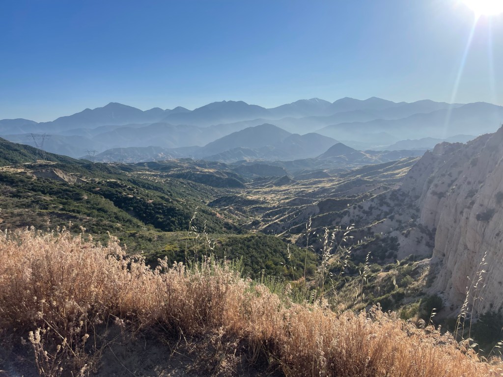
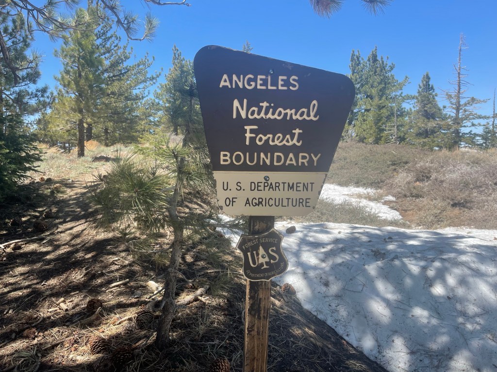
At this point, Wrightwood was in our sights. What stood between us and relaxation was about a 6000 foot climb and a lot of descent. Thankfully, this was the beginning of a pretty stretch of trail as we entered the mountains again and gained elevation. It also felt like a homecoming as we crossed into Angeles National Forest and started climbing through our home mountains, the San Gabriels.

The long downhill into Wrightwood was rough on legs. Our parents met us in Wrightwood with our resupplies and snow gear (ice ax and spikes) and were able to relax in a cabin for the night. The plan up until this point had been to continue to Pacifico Mountain and catch a ride back to Altadena to take a couple days off, as it’s not too far of a drive. Unfortunately, my sister’s shin pain continued to get worse so we made the decision for her to get off trail, I would continue on to Pacifico Mountain and get off trail there, and then we would continue on together.
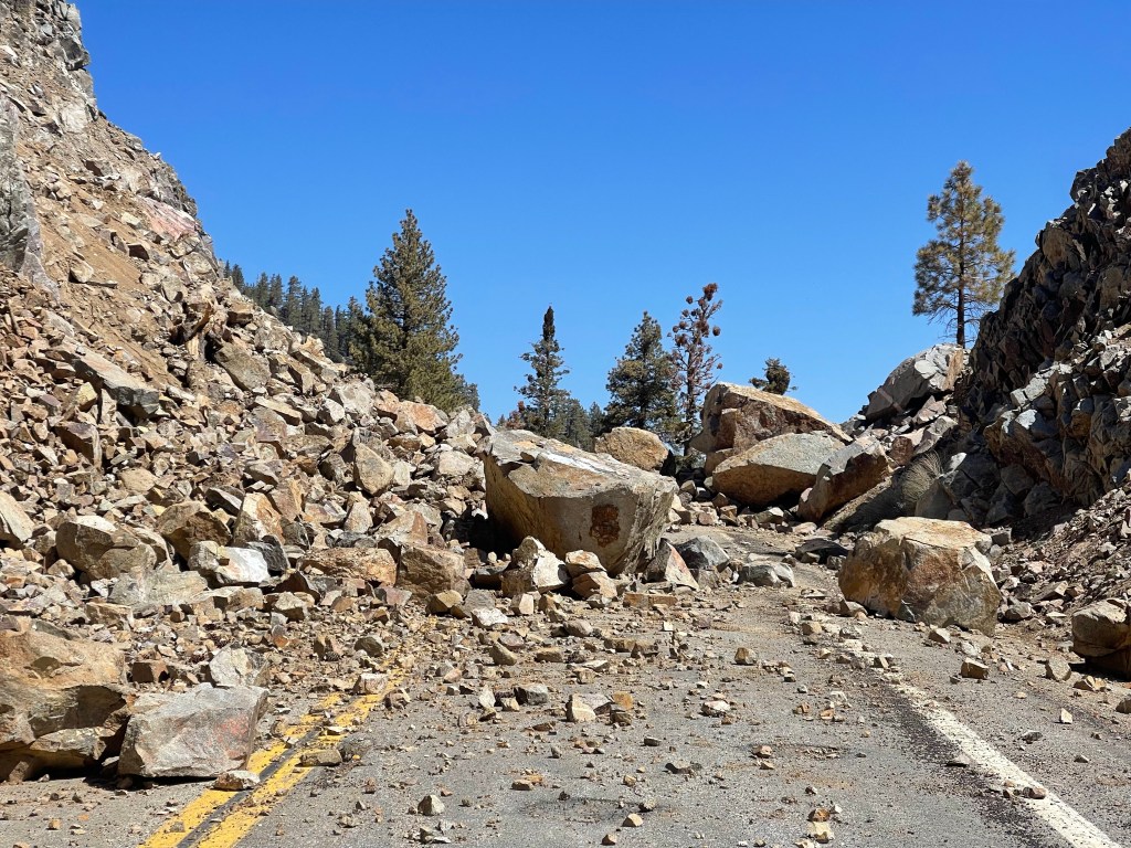
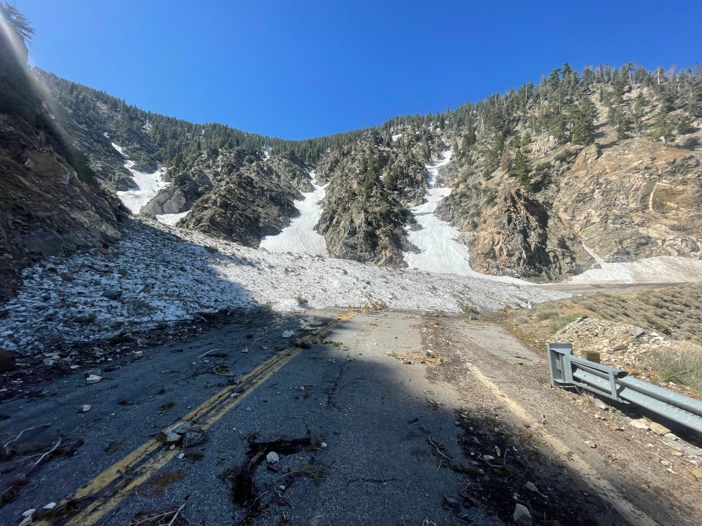
What followed were my first two nights solo backpacking which was a great experience. As the snow was quite deep and somewhat sketchy near Mount Baden-Powell, I ended up road walking a 18 mile section of highway 2 to avoid the worst of the snow like a lot of other hikers. This road walk was a surreal experience has the road had been decimated by the winter storms and this section was completely closed down.
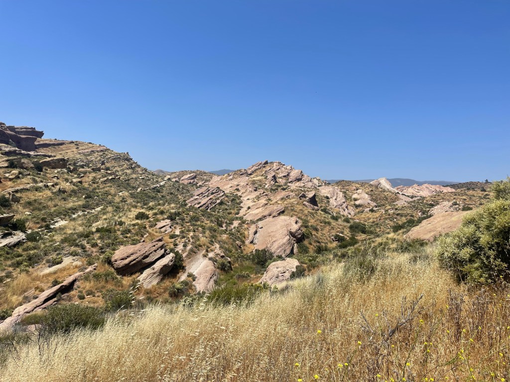
After completing the 40ish miles to Pacifico Mountain, my friend Pierre picked me up from trail and dropped me off at my parents. I took 3 days off and I returned to trail with Kristina. At this point we were in the tail end of the hike through the San Gabriel Mountains. Next up, we stopped at a former KOA campground near Acton where we bought tons of ice cream. The next day we hit the town of Agua Dulce where we camped in the backyard of a trail angel which he had named “Serenity’s Oasis” and we picked up our resupply package. Waiting for us the next day was Vazquez rocks, which are some beautiful rock formations north of LA.
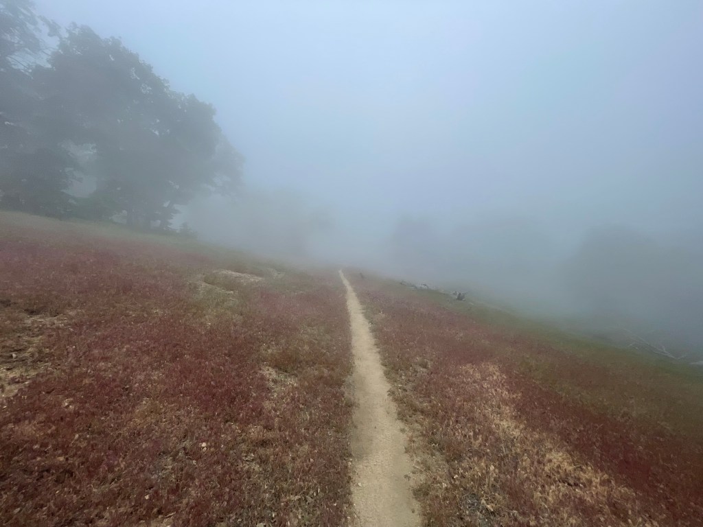
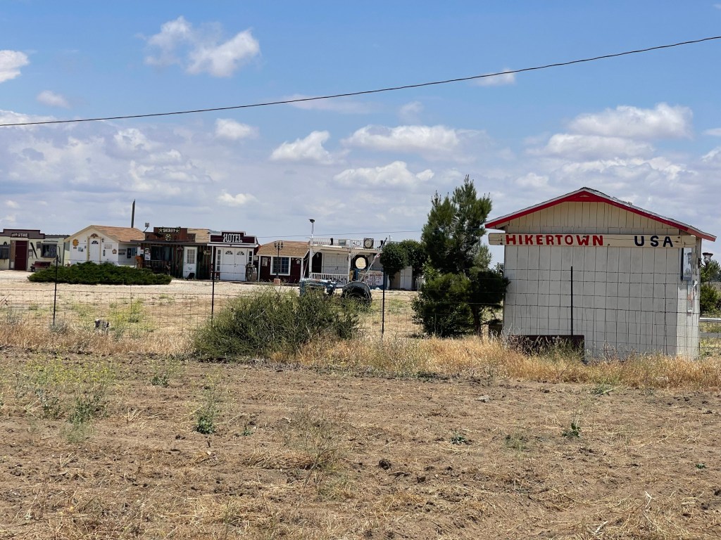
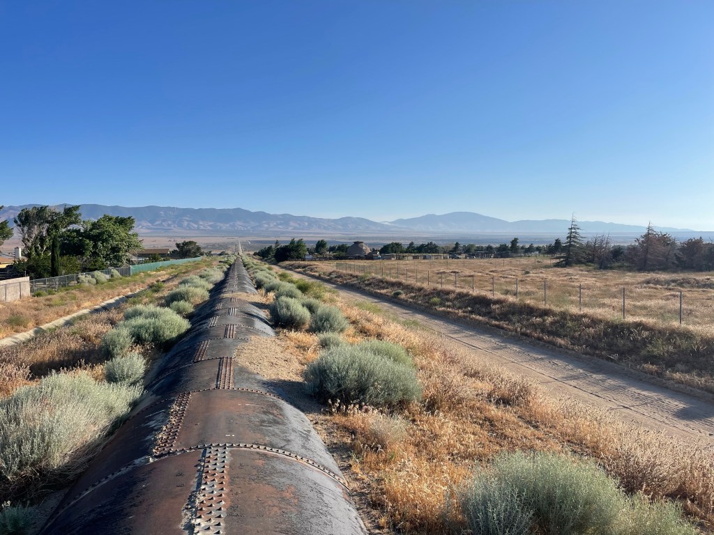
The next few days we had a break from the heat and we’re basically hiking through the clouds. We began to near “Hikertown,” one of the more infamous stops on trail. Hikertown is hard to define, but is essentially someone’s yard along trail near Lancaster with western movie facades, shaded tables, water, an actual bathroom, and space to pitch a tent. This spot precedes what is known as the aqueduct walk: 17 miles of no water where you walk along the LA aqueduct towards the wind mill farms. Often people will stop at Hikertown and then night hike this section to avoid the heat, but we were able to hike it during the day due to the unusually cool weather.
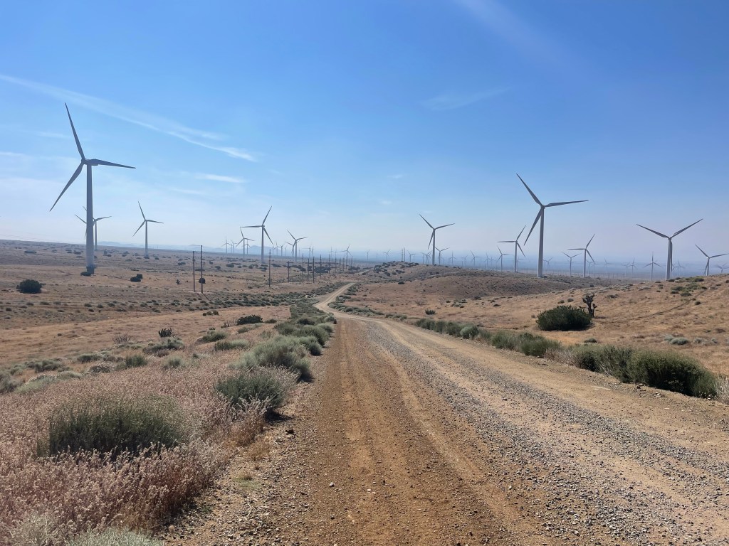
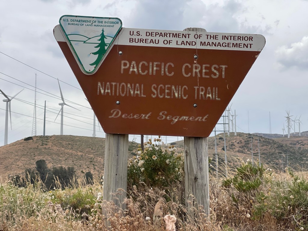
From here, we hiked through some hills towards Tehachapi where we’ve taken a day off trail and are about to hit the trail again. This is our last town stop before we hit Kennedy Meadows in about 140 miles, which means very heavy packs. It also means we need to finalize what our next section of the trail will be. Kennedy Meadows marks the start of the Sierra section which is still covered in record breaking snow, which will make it miserable and not too safe to hike through with our level of experience. Because if this, we are planning to skip past the Sierra and tackle it at the end of the season. However, we’re still deciding whether to skip to Northern California and hike north and flip back to the Sierra after we get to Canada, or just flip to the Canadian border and hike the rest of the trail southbound. Luckily we’ve got quite a few miles to make that decision.

Leave a comment